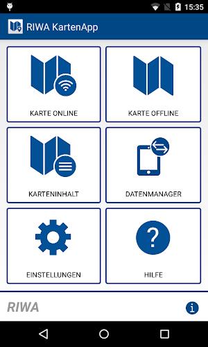
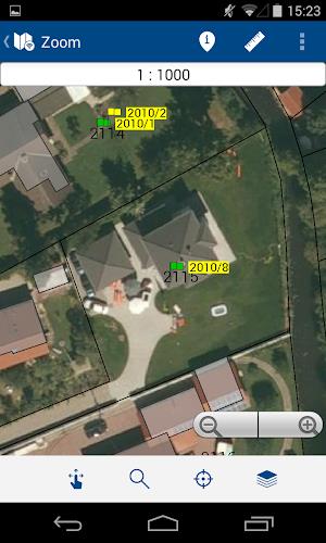
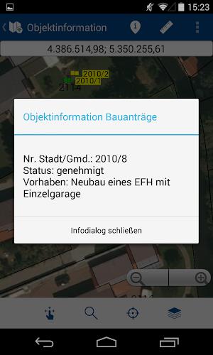
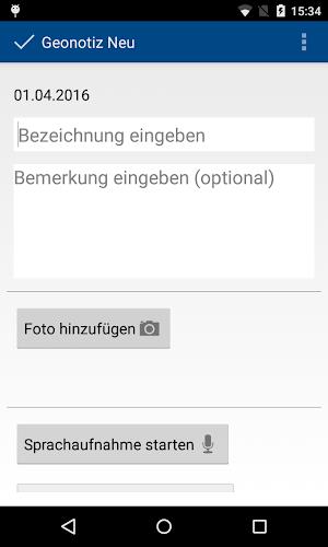
The RIWA Karten App is a cutting-edge mobile application tailored for employees of the RIWAGIS-Zentrum who are frequently on the move. This powerful tool enables field workers to access their personal geobase and geospatial data, complete with detailed object information, directly on a mobile map. Key functionalities of the app include the creation of personalized geonotes and survey data, which significantly reduces the reliance on traditional paper plans during fieldwork. The app operates seamlessly in both online and offline modes, ensuring that data can be synchronized with the RIWAGIS server once an internet connection is restored. It also offers a range of features such as measurement tools, advanced search capabilities, customizable layers, and precise GPS-based location tracking. For those interested in exploring further or arranging a demo, reaching out to RIWA GmbH is the next step.
Features of the App:
- Modular Structure: Built on the robust and scalable modular framework of the RIWA GIS center, the app ensures a stable platform for all users.
- Mobile Mapping: Access your geobase and geospatial data, including detailed information on objects like trees, canals, water pipes, and playgrounds, all from the convenience of a mobile map.
- Additional Functions: Create user-specific geonotes and survey data to streamline on-site tasks, effectively eliminating the need for paper plans in the field.
- Offline and Online Modes: Use the app in both online and offline environments. When connectivity is restored, offline data automatically syncs with the RIWAGIS server to keep everything up to date.
- Various Search Options: The app provides multiple search options within the datasets, such as land numbers or addresses, making it easier to locate the information you need quickly.
- User-friendly Design: With a design that adapts to nearly all display resolutions, the app offers a seamless and intuitive user experience across different devices.
Conclusion:
The RIWA Karten App stands out as a comprehensive and user-friendly solution for field service employees. Its modular structure, combined with advanced mobile mapping capabilities and features like geonotes and survey data, simplifies fieldwork and eliminates the need for cumbersome paper plans. The ability to operate in both online and offline modes, coupled with versatile search options and a user-friendly interface, makes it an indispensable tool for field workers. To delve deeper into the app's capabilities or to request a demo, interested users should contact the RIWA GmbH Marketing/Vertrieb team using the provided contact information.

